Enjoy the quiet weather while it lasts. Central Illinois is likely to stay warm and mostly dry with only a couple of limited opportunities for showers.
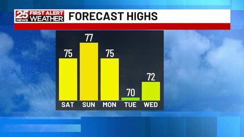
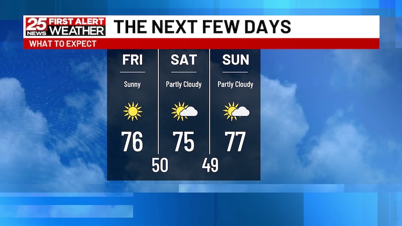
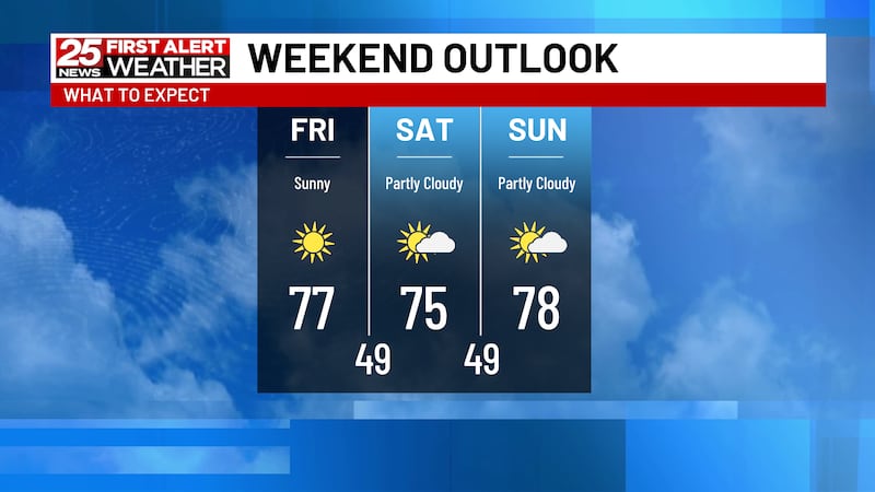
Enjoy the stretch of dry weather! Temperatures will continue running above average through much of next week, with afternoon highs in the 70s and cooler nights in the 40s and 50s.
For now, enjoy the sunshine, but keep the jacket handy during the chilly mornings. After a taste of fall, central Illinois is heading toward a stretch of unseasonably warm weather.
A chilly night could bring patchy frost to parts of Central Illinois, but sunshine and a surge of warmer air will send temperatures climbing well above normal next week.
Plan for a chilly weekend and keep an eye out for frost, especially Saturday night. Warmer weather is on the way, with temperatures climbing toward 80 degrees by the middle of next week.
A mostly dry weekend before summer-like heat builds Monday and Tuesday. Rain and thunderstorms could return by midweek then by next weekend temperatures are expected to take a sharp turn toward much colder, more seasonable conditions.
Enjoy the warm and mostly dry weather through Monday but keep an eye on next week’s rain chances and the potential for a sharp temperature drop by next weekend.
several warm and dry days through Saturday, followed by a potential beneficial rain Sunday. The track of Isaias’ remnants will be key to determining who sees the most rain across Central Illinois.
Plan for a wet night and a damp start to Friday, with most areas picking up around an inch or less. Once the rain moves out, cooler and drier weather settles in for the weekend.